APULICA / Stories, people and traditions
Water connecting territories
Acquedotto Pugliese offers a journey thread that crosses regional borders. Following the story of water brings together a mountain landscape, a city and a farming territory, with one shared question: how does life change when access to an essential resource changes?
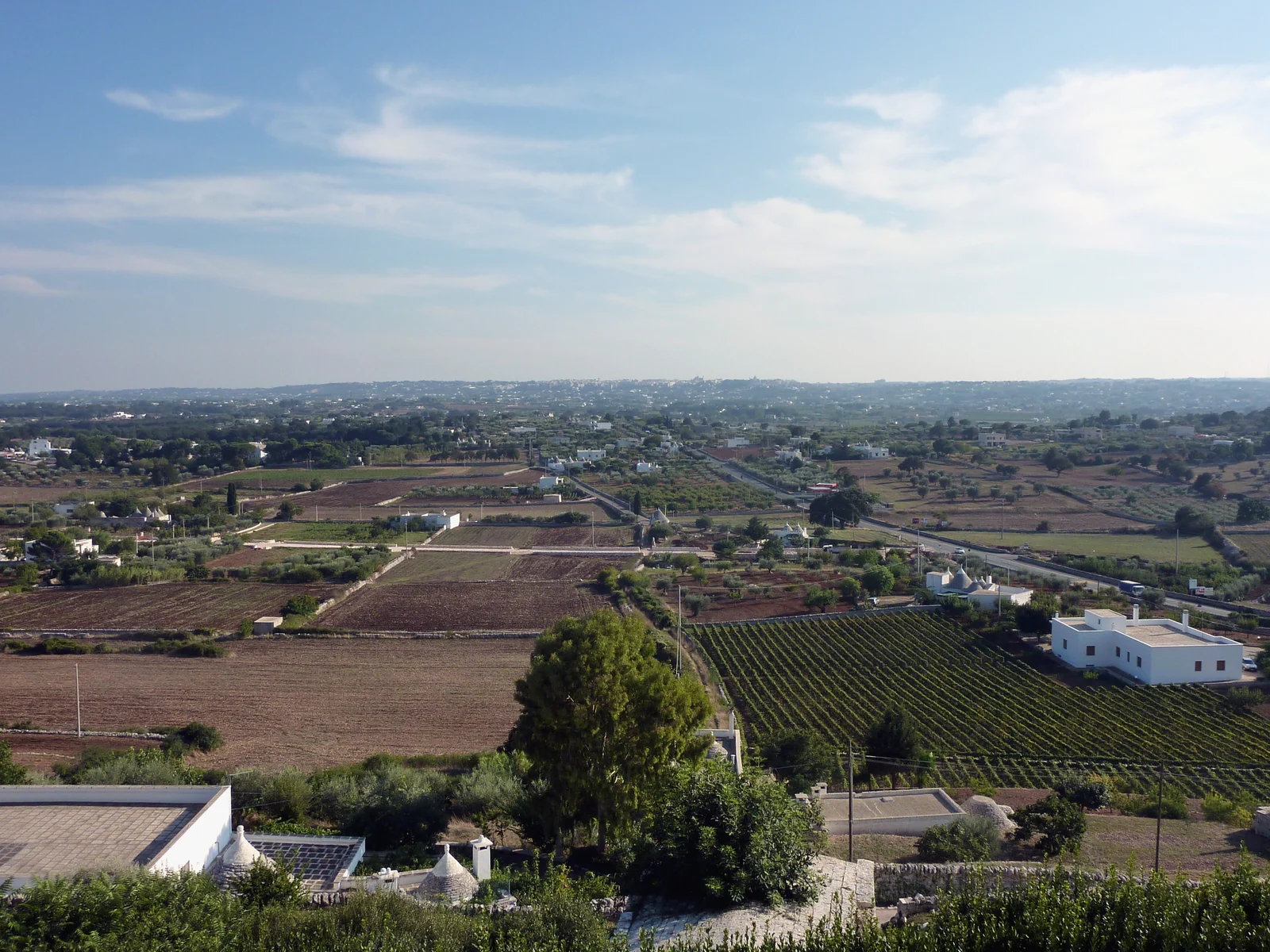
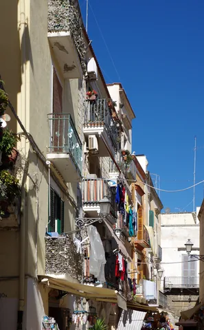
Photo: Adbar · Wikimedia Commons · CC BY-SA 3.0 · Resized and converted to WebP.
1906–1915: from construction to arrival in Bari
Work began in 1906 at the Madonna della Sanità springs in Caposele. Water reached Bari on 24 April 1915 and another twenty-seven towns in the province that year. The undertaking answered a need for safe water. Begin with everyday consequences: fountains, domestic uses and the time spent obtaining water. A date becomes meaningful when connected with what people could finally do.
Sources: Acquedotto Pugliese — La storia
The Main Canal: from Irpinia to the Itria Valley
The Main Canal connects the Sanità springs at Caposele with Montefellone in Martina Franca’s territory: 244 km of free-surface conduit. Its route alternates tunnels, trenches and aqueduct bridges. This relationship between geography and engineering offers a way to read the landscape: the work needed to cross a ridge and follow a gradient. It is a historical connection, not one continuous route available today for walking or cycling.
In Bari, water becomes an artistic theme
Cesare Vittorio Brunetti designed Bari’s Palazzo dell’Acqua; Duilio Cambellotti created its decorations and furnishings. Trani stone covers the exterior, while paintings, sculptures and furniture develop the theme of water inside. Notice how one subject moves through different materials and objects, beyond the building’s administrative role. AQP provides visiting information through its official channel; consult it for current arrangements.
The cycle route: reading a stretch of landscape
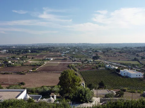
AQP describes roughly 22 km of cycle route between Cisternino and Ceglie Messapica, including the countryside around Martina Franca from Pineta Ulmo to Monte Fellone. It follows the water infrastructure; announced extensions remain distinct from the described stretches. This is a different scale from the historic Main Canal.
From fountain to bridge: changing scale
Try three changes of scale: a fountain and its public setting; a building or landscape revealing the infrastructure; then the Water Palace, where the subject becomes decoration and furniture. What looks like a simple tap belongs to a larger story. A few carefully chosen places, with a map alongside, connect everyday and geographical scales without attempting to follow the whole network.
A journey through towns, countryside and springs
Combine an urban day in Bari with a rural chapter in Valle d’Itria. For a journey continuing into Irpinia, springs become a third chapter with their own history. Give interiors and landscape observation separate time: they complement one another. Choose the period around the day you want—museums, walking or cycling—rather than an imagined single aqueduct season. A meal provides space to discuss what changes when water reaches a territory.
A thread for your journey
Bari for art and urban life, Valle d’Itria for canal and countryside, and Irpinia as a possible springs chapter: water connects different territories and functions.
Talk to us